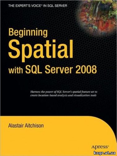
 Год: 2009 Автор: Alastair Aitchison
Жанр: СУБД
Издательство: Apress
ISBN: 1430218290, 978-1430218296
Язык: Английский
Формат: PDF
Описание: Microsoft SQL Server 2008 introduces new geography and geometry spatial datatypes that enable the storage of structured data describing the shape and position of objects in space. This is an interesting and exciting new feature, with many potentially useful applications.
Beginning Spatial with SQL Server 2008 covers everything you need to know to begin using these new spatial datatypes, and explains how to apply them in practical situations involving the spatial relationships of people, places, and things on the earth.
All of the spatial concepts introduced are explained from the ground up, so you need not have any previous knowledge of working with spatial data.
Every section is illustrated with code examples that you can use directly in SQL Server.
All of the topics covered in this book apply to all versions of SQL Server 2008, including the freely available SQL Server 2008 Express.
What you’ll learn
Understand the fundamental concepts involved in working with spatial data, including spatial references and coordinate systems.
Apply these concepts in the collection and storage of spatial data in SQL Server 2008, using the new geometry and geography field types.
Create different types of spatial data objects—points, lines, and polygons—and use these to describe real–world objects.
Learn how to analyze spatial data using a range of supported methods, and be aware of a number of different practical applications for these methods.
Be shown how to integrate SQL Server with other tools, such as Microsoft Virtual Earth, to display a visual representation of spatial data.
Know how to ensure the performance of spatially enabled databases by creating appropriate spatial indexes.
Who is this book for?
SQL Server developers who wish to use spatial data in Microsoft SQL Server 2008.
About the Apress Beginning Series
The Beginning series from Apress is the right choice to get the information you need to land that crucial entry–level job. These books will teach you a standard and important technology from the ground up because they are explicitly designed to take you from "novice to professional.” You’ll start your journey by seeing what you need to know—but without needless theory and filler. You’ll build your skill set by learning how to put together real–world projects step by step. So whether your goal is your next career challenge or a new learning opportunity, the Beginning series from Apress will take you there—it is your trusted guide through unfamiliar territory!
|  Год: 2009
